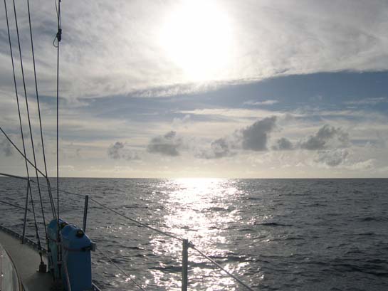
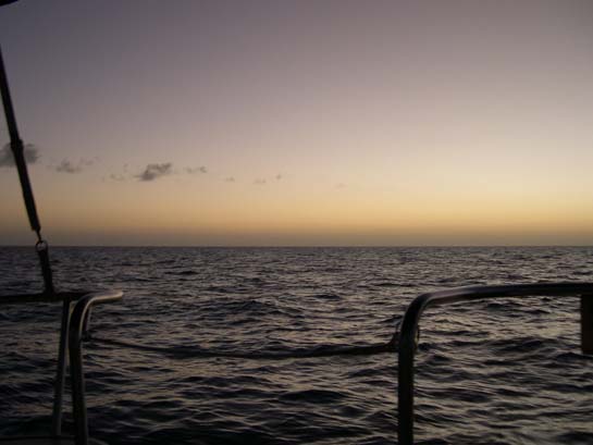
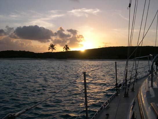
Sunrise crossing the Gulf Stream on route to Bimini, Bahamas
Looking back westward towards Miami which has dissapeared into open ocean
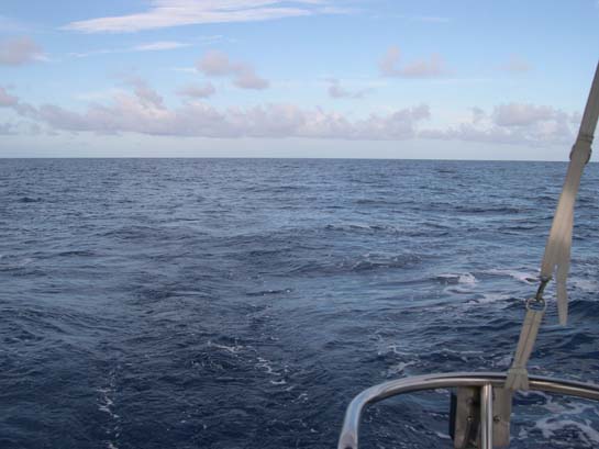
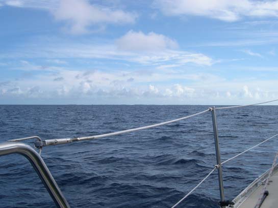
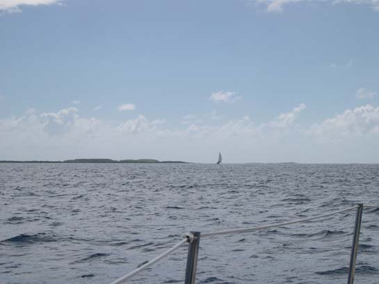
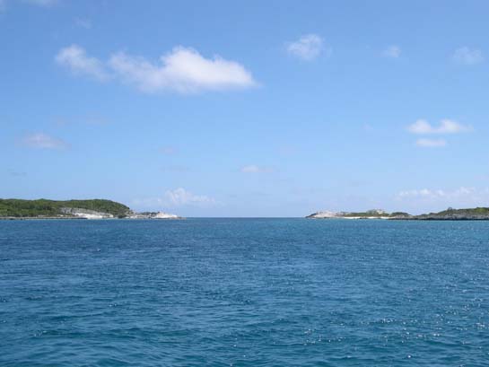
Looking east into open ocean
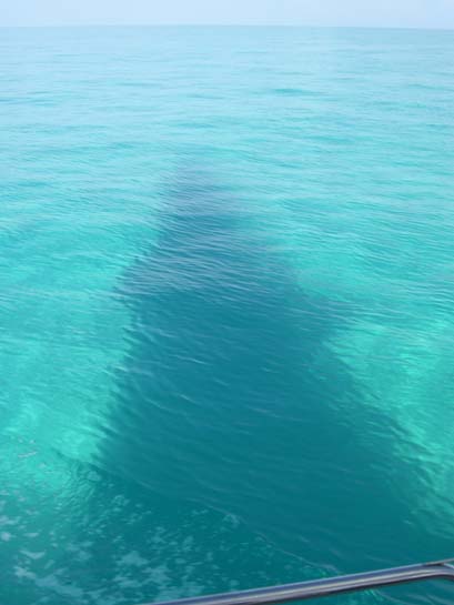
The cobolt blue water of the Gulf Stream
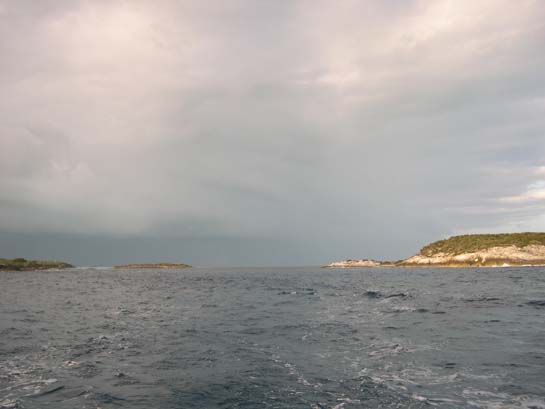
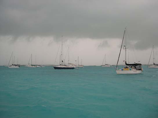
"Land ho" - First sighting of Bimini (It's there - look harder.)
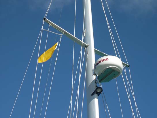
Flying the yellow "quarantine" flag before clearing customs
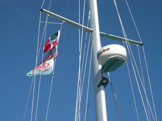
Flying the Bahamas maritime "courtesy" flag after clearing customs
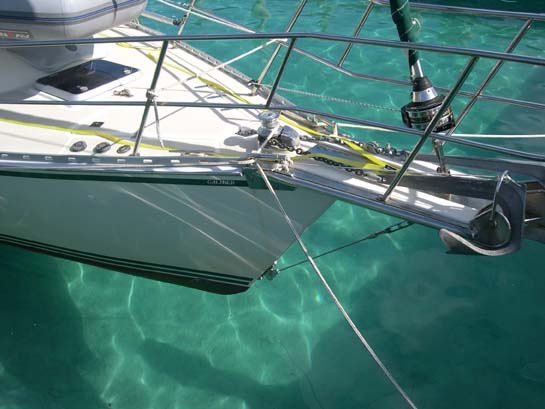
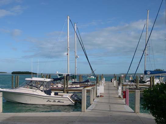
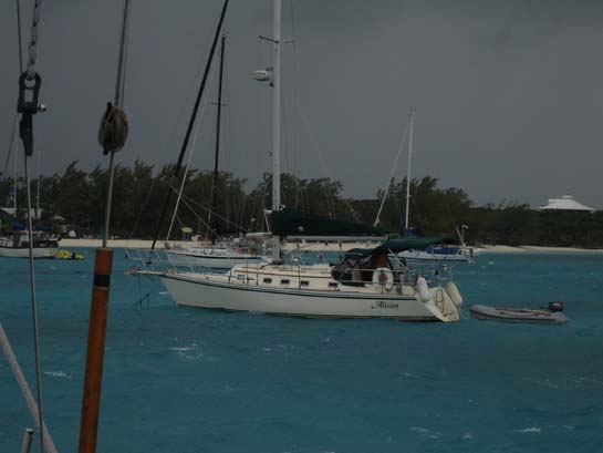
Alisios in a slip in Bimini - The bottom is clearly visible. Its like tieing up in a swiming pool
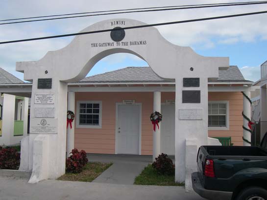
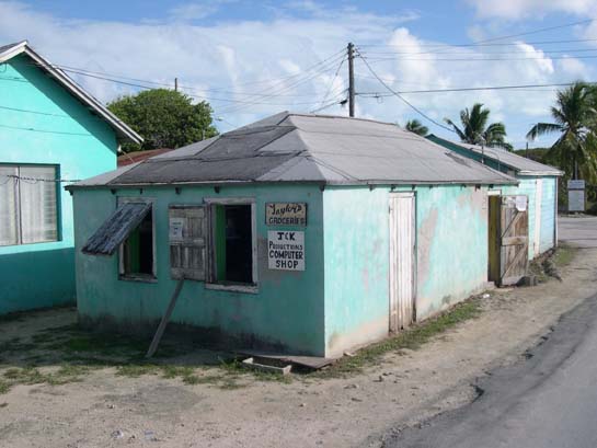
Imigration Office, Bimini
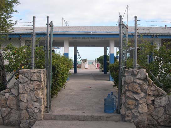
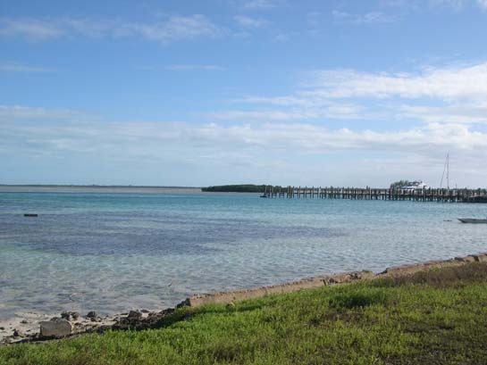
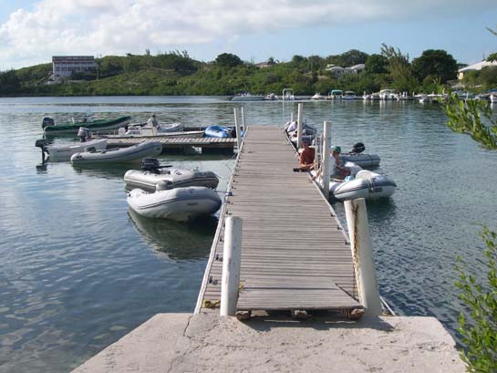
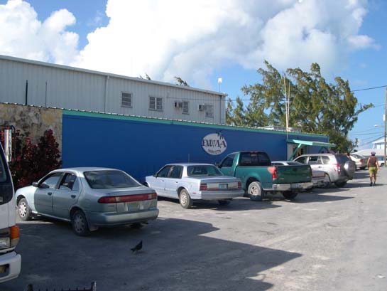
Blue Water Marina, Bimini
Alisios at dock in Blue Water Marina
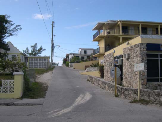
Up the hill from the main street by our marina to the ocean, Bimini
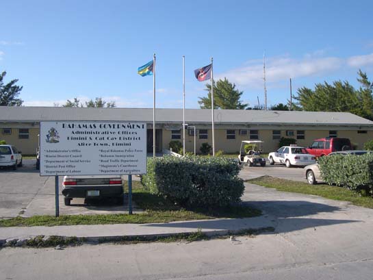
The government building and police station, Bimini
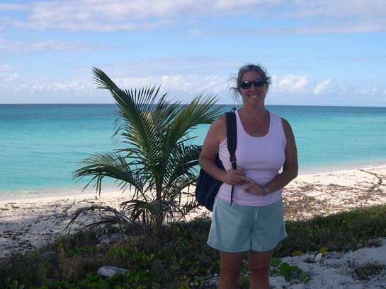
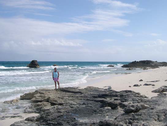
Gail by the ocean, Bimini
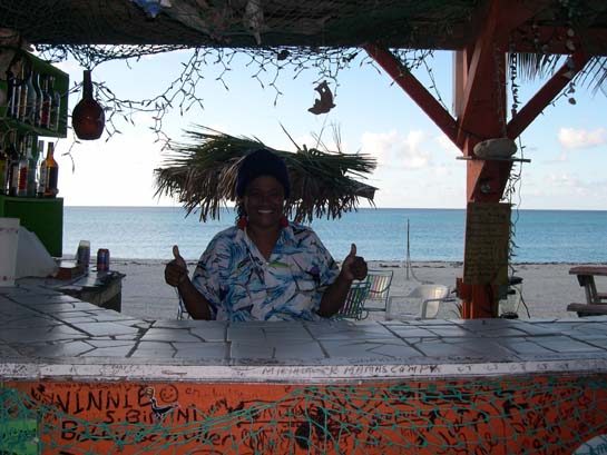
Sherry P. behind her beach bar, Bimini
The small anchorage just north of Big Game Club, Bimini
A man cleaning conch just north of Big Game Club, Bimini
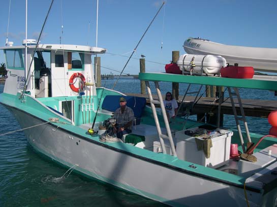
Fred, Wilma, and m/v Shack Money II on which we went wahoo fishing, Bimini
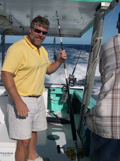
Matt just after landing the wahoo, Bimini
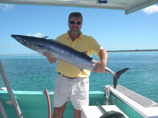
Matt and the wahoo he caught (with help), Bimini
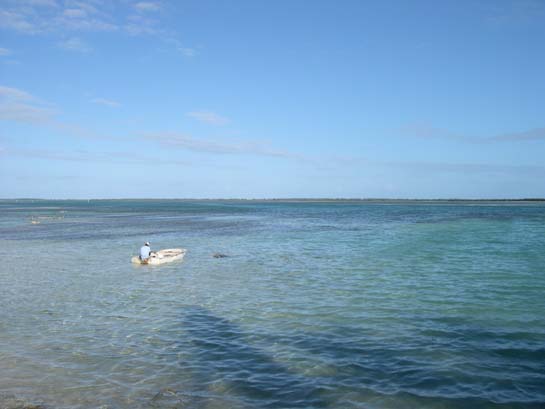
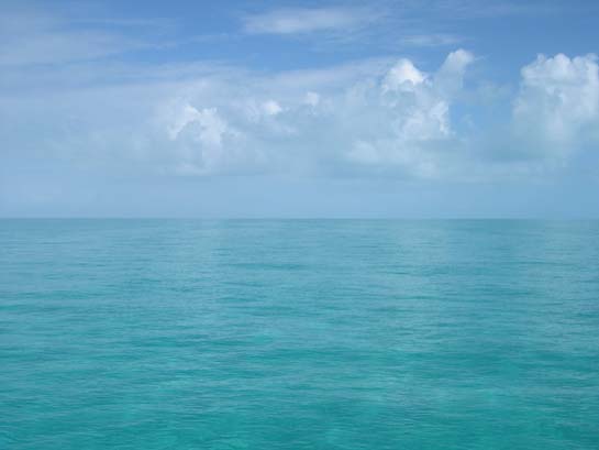
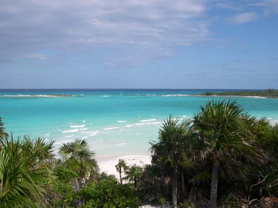
The Great Bahama Bank - Clear shallow waters as far as the eye can see in all directions
Alisios' mainsail reflected int the water of the Great Bahama Bank
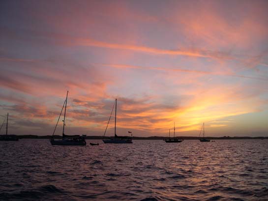
Anchored in open water on the Great Bahama Bank (photo taken just after sunset)
Northwest Channel - The cut from the Great Bahama Bank to the Tongue of the Ocean
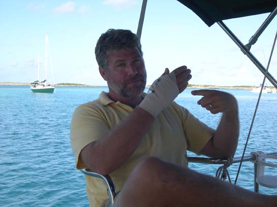
Matthew courting sympathy just after dislocating his thumb, Allen's Cay, Exumas
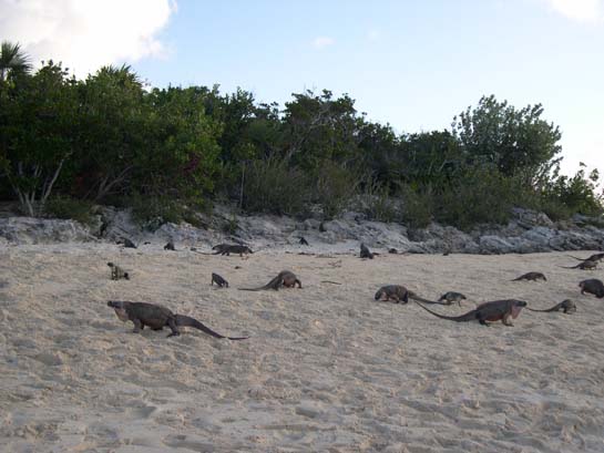
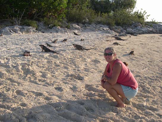
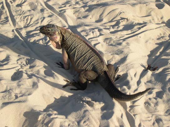
Rock iguanas, Leaf Cay, Exumas
Gail cleaning conch, Exumas (We quickly learned to do this on shore to minimize the mess)
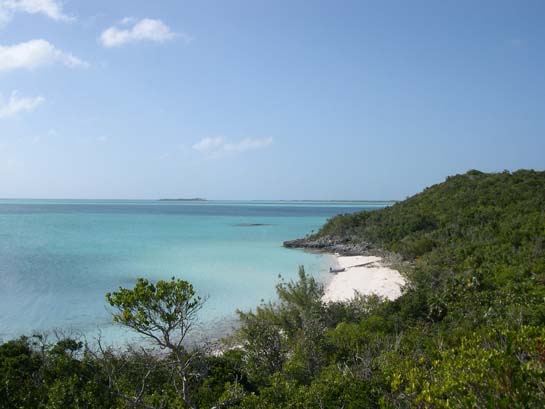
The ocean side of Shroud Cay viewed from Camp Driftwood, Exumas
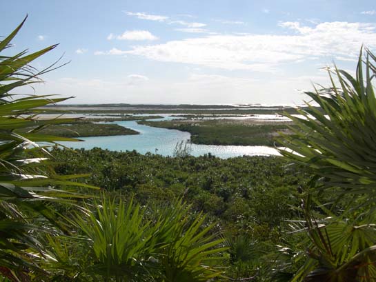
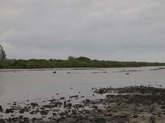
The interior of Shroud Cay with its shallow, tidal, mangrove-lined creeks viewed from Camp Driftwood, Exumas
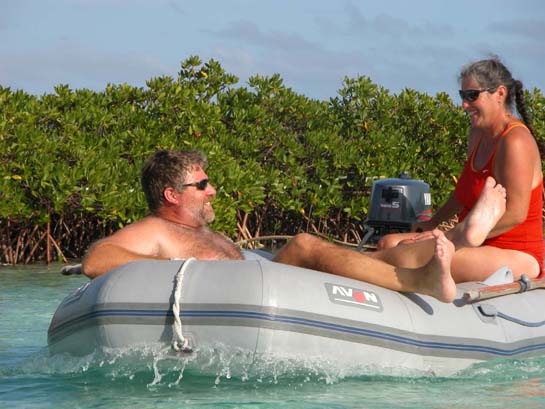
Exploring the shallow, mangrove-lined creeks of Shroud Cay in Moondink, Exumas
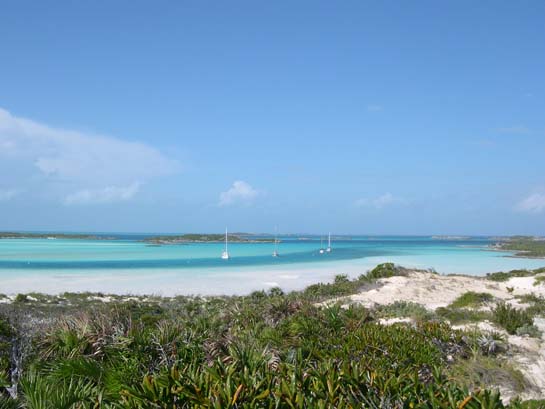
The northern anchorage at Warderick Wells, Exumas (Alisios is moored second from the right.)
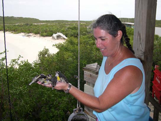
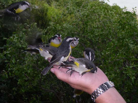
Gail feeding the bananaquits a palm full of sugar, Warderick Wells, Exumas (The skeleton of a 52' sperm whale is on the beach in the background.)
Matthew on the ocean side of Warderick Wells Cay, Exumas
Gail on the ocean side of Warderick Wells Cay, Exumas
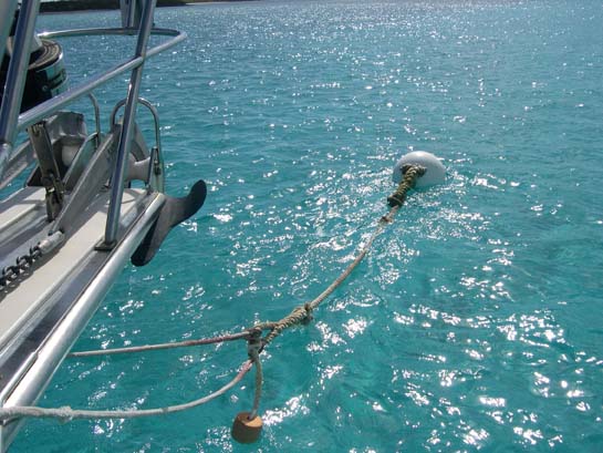
Alisios tied off to a mooring ball, Exumas (We're bridaling the mooring with two lines - each tied off to the mooring's pennant.)
Gail studying snorkeling sites, Exumas
Alisios on a mooring ball at Cambridge Cay, Exumas
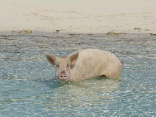
One of the semi-feral pigs at Big Major's Spot, Exumas
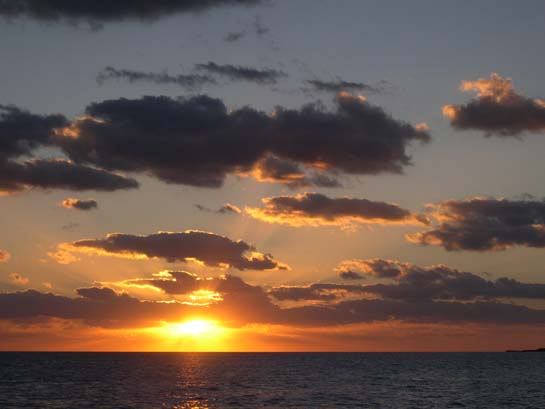
Sunset seen from Oceanus, Big Majors Spot, Exumas
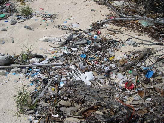
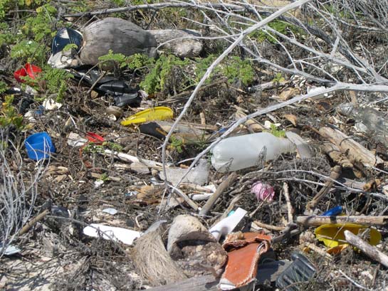
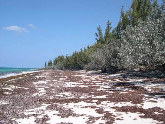
Plastic flotsam on ocean-facing beaches, Bahamas (Every ocean-facing beache sports large quantities of the worlds garbage.)
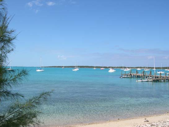
The anchorage at Black Point Settlement, Big Guana Cay, Exumas (Alisios is in the center.)
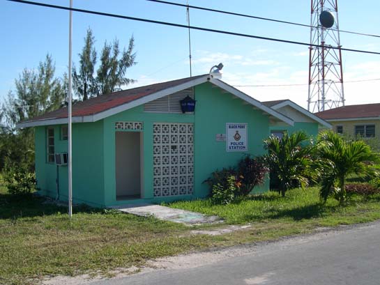
The police station at Black Point Settlement, Big Guana Cay, Exumas
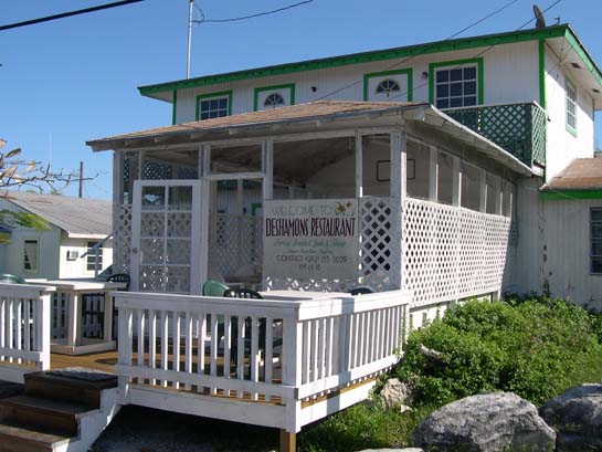
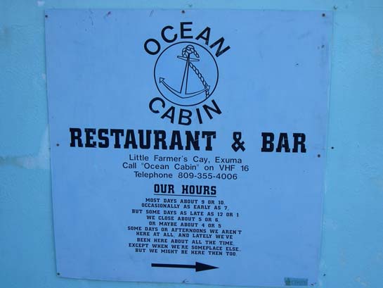
DeShamon's Restaurant, Black Point Settlement, Big Guana Cay, Exumas
Laundromat at Black Point Settlement, Big Guana Cay, Exumas
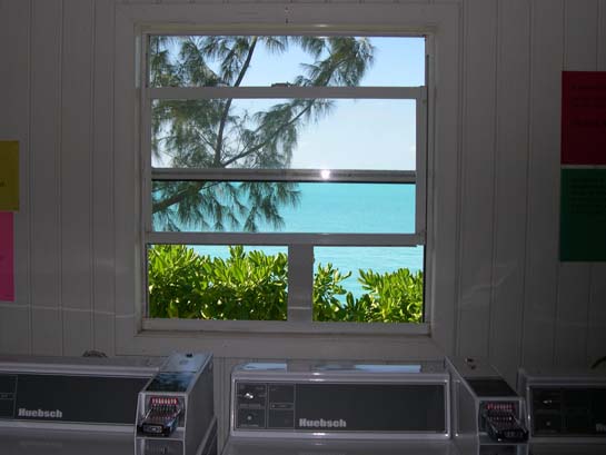
Laundromat at Black Point Settlement, Big Guana Cay, Exumas (Looking out on the basin, including Alisios)
The power plant at Black Point Settlement, Big Guana Cay, Exumas (The diesel generators in this building provide power for the entire island.)
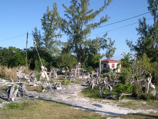
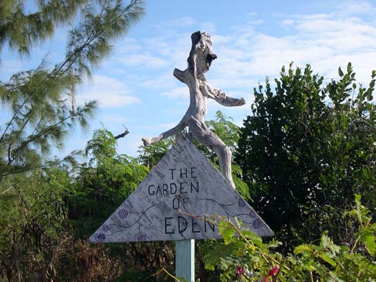
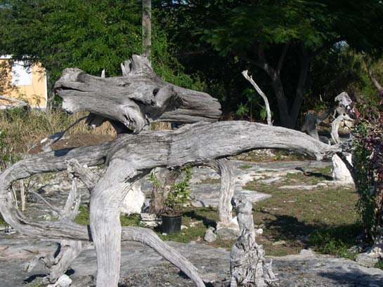
Willie Rolle's Garden of Eden, Black Point Settlement, Big Guana Cay, Exumas
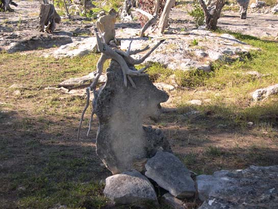
Does this look like a horse head or a goat head?
The lion head stone
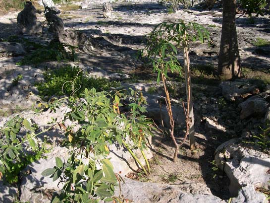
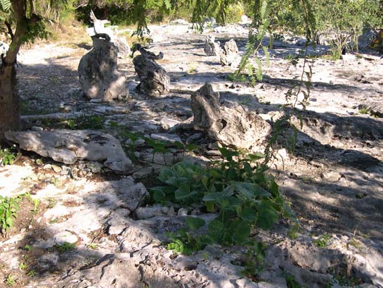
Willie Rolle's garden
Pumpkin
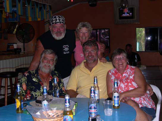
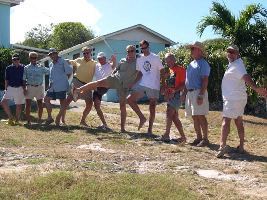
Marceau, Lise, Ernie, Matthew, and Carolyn (Sea Belle, Hispanola, and Alisios) at Scorpio's Bar, Black Point Settlement, Big Guana Cay, Exumas
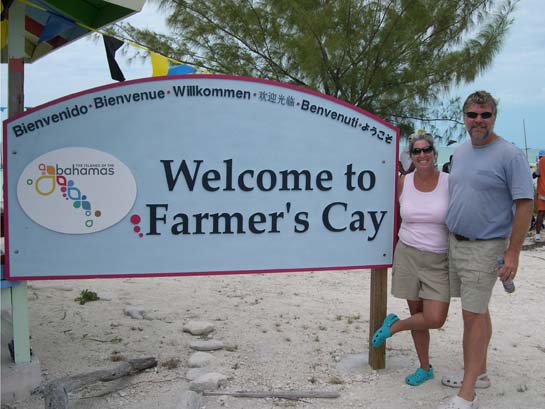
The welcome sign at the Farmer's Cay airstrip, Exumas
Island attitude, Exumas (photo (and attitude) by Gail)
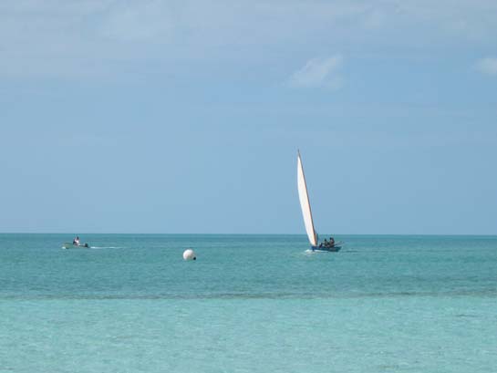
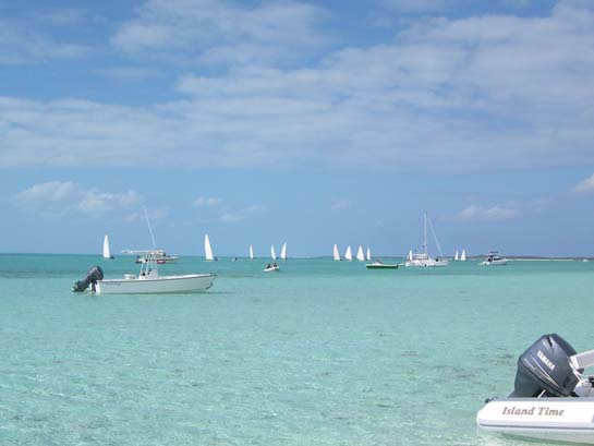
Bahamian sloop crossing the finish line, Farmer's Cay, Exumas
The rest of the pack, Farmer's Cay, Exumas
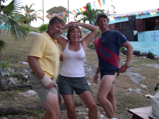
Men's best legs competition - Farmer's Cay First Friday in February Festival, Exumas
The winner's circle - Farmer's Cay First Friday in February Festival, Exumas
Looking back at Cave Cay Cut, Exumas
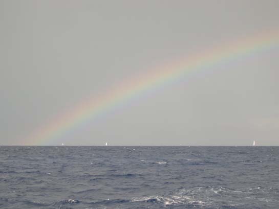
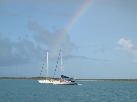
Rainbow on the ocean passage to Georgetown, Exumas (We ended up with 20 - 25 knot winds and several squalls, but a beautiful rainbow afterwards.)
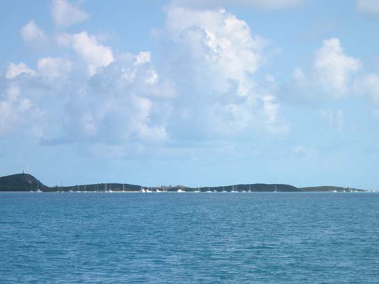
Arrival at Georgetown - looking down on the Monument and Volleyball beach anchorages, Exumas
The sea entrance to Lake Victoria, Georgetown, Great Exuma, Bahamas (Depending on the tide, one often had to surf the waves through this to get to town.)
Dinghy dock, Georgetown, Great Exuma, Bahamas
Exhuma market, Georgetown
A real bank (one of the few in the outer islands Bahamas), Georgetown
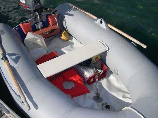
"Ole Squishy" - Moondink's no-pressure, high-pressure inflatable floor (We applied several patches and fought to keep it functional most of the trip.)
Front passing through the Volleyball beach anchorage, Exumas (The wind howled and the boats really sailed on their anchor lines.)
Alisios at anchor in front of Volleyball beach during a frontal passage, Exumas (Our friends on Wy'East took this photo. Look how uncomfortably close together the boats are.)
J&K Computers, Georgetown, Great Exuma, Bahamas (This is where we went to get internet access in Georgetown.)
Sunrise over the Volleyball Beach anchorage, Georgetown
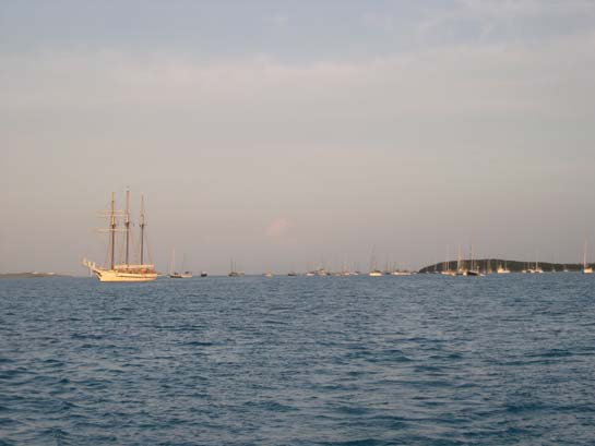
Sand Dollar Beach anchorage, Georgetown (Barkentine tall ship from Mystic, CT)
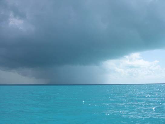
Storm cell on route from Georgetown, Exuma to Long Island
Jim from s/v Freedom playing on Long Island
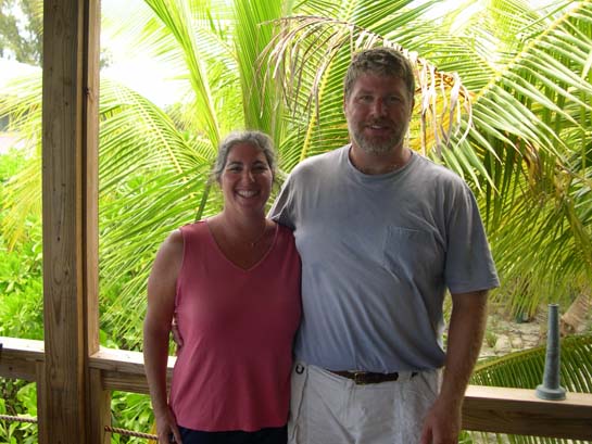
Matthew and Gail, Long Island (2 day's after Gail's first attempt at cutting Matthew's hair - Not a bad job!)
Rainbow over s/v Pea Soup, Long Island
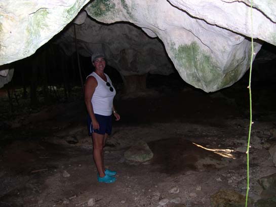
Gail at cave entrance, Salt Pond, Long Island
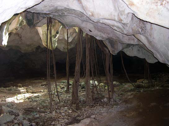
Fig tree roots in cave, Salt Pond, Long Island (The camera flash makes the cave look lighter than it really was.)
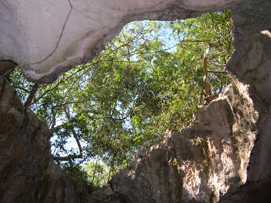
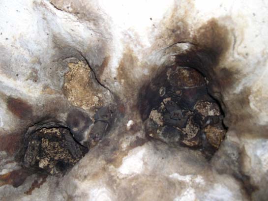
Skylight in cave, Salt Pond, Long Island (The veins on the rock are termite channels.)
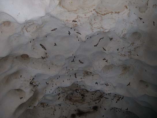
Bats in ceiling hole of cave, Salt Pond, Long Island (Illumated by camera flash.)
Bats flying against the ceiling of a cave, Salt Pond, Long Island (Illumated by camera flash.)
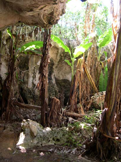
Bananna palms growing through skylight of cave, Salt Pond, Long Island
Another attempt at repairing the seam leek in Moondink's air floor, Long Island (This one mostly held.)
"Land ho" - The Jumentos, Bahamas
Sunrise off Two Palms, Flamingo Cay, Jumentos, Bahamas
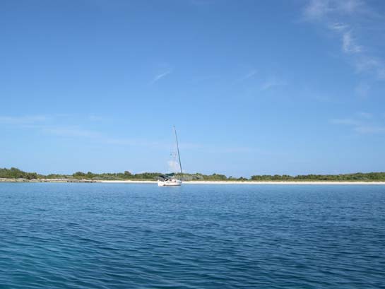
The kind of anchorage one dreams of - Alisios off Water Cay, Jumentos, Bahamas
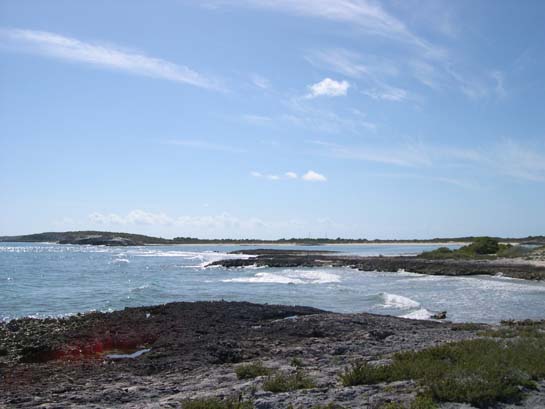
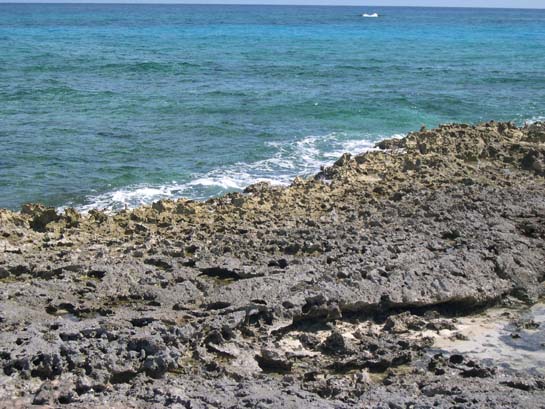
Looking across the iron-shore from Little Water Cay to Water Cay (The normal shoreline is iorn shore with only a few small beaches within little coves.)
A closer look at the iron-shore (Hiking across this is tough on Crocs.)
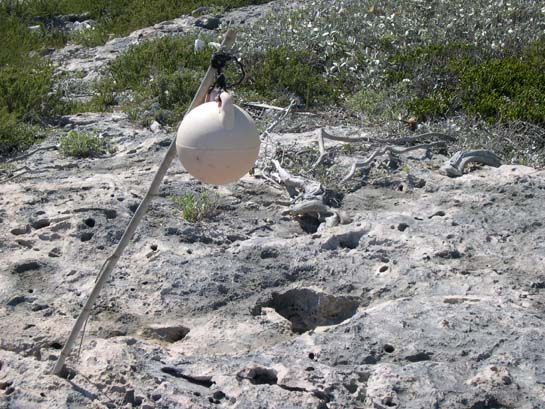
See how waxy-leafed, salt-tollerant plants take root in the potholes. The entire island interiors are like this - almost no soil. The ball on the pole is a fish net float that washed up and someone hung.
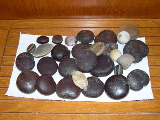
Various sea beans - mostly hearts, a few hamburgers, + some junk seeds to show what washes up
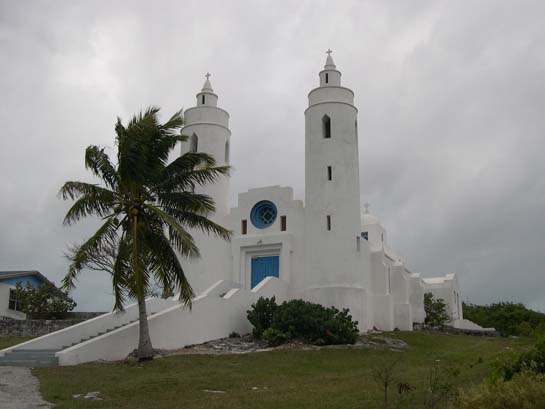
St. Paul's Anglican Church built by Father Jerome, Clarence Town, Long Island
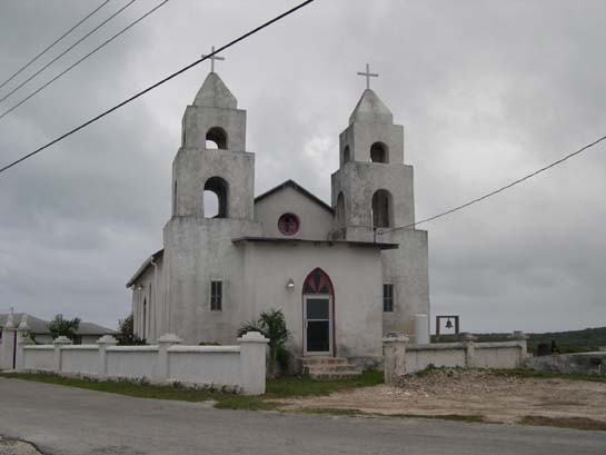
The Catholic Church built by Father Jerome, Clarence Town (He converted.)
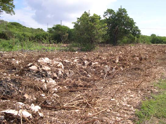
A field freshly prepared for planting, Long Island
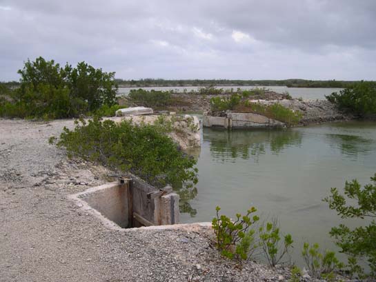
Abandoned Diamond Salt Works, Long Island
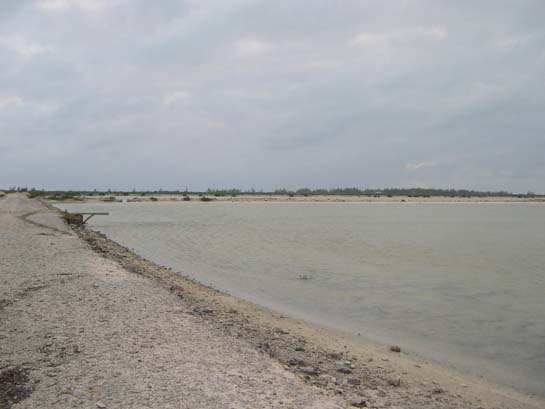
Old evaporation salt pond with dividers, Long Island
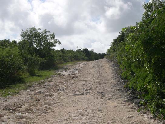
The road to the monument at Cape Santa Maria, Long Island (We, just like everyone else before us, took our poor rental car down this road.)
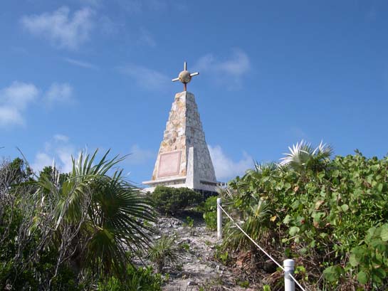
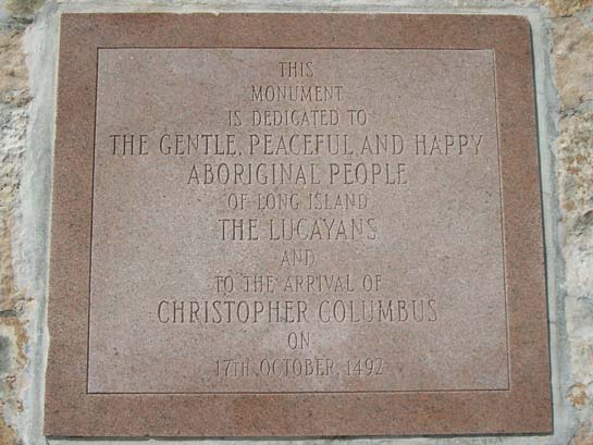
The Monument at Cape Santa Maria, Long Island
The Monument at Cape Santa Maria, Long Island
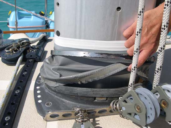
Alisios' mast boot disassembled (before repair) (The mast boot keeps water from getting into the boat through the hole the mast enters.)
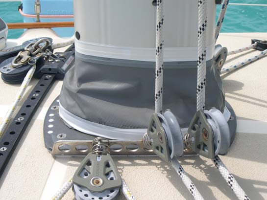
Alisios' mast boot fixed and reassembled (The bottom is held tight by a large stainless steel hose clamp under the white tape.)
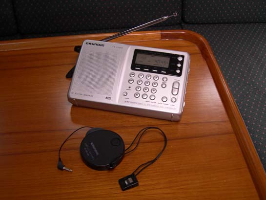
Grundig Yacht Boy 400 PE AM/FM/SSB (short wave) receiver (Needed to pick up marine weather forecasts. Reception is a bit hit or miss.)
The anchorage off Volleyball Beach as seen from the St. Francis restaurant deck, Georgetown (Alisios is somewhere center-right.)
Hurricane Hole #2 as seen from the St. Francis restaurant deck
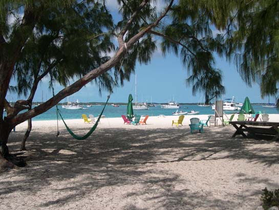
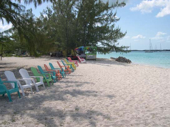
Volleyball Beach as seen from the water
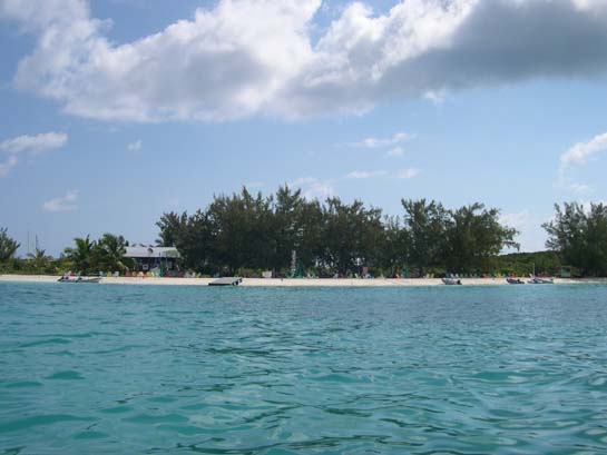
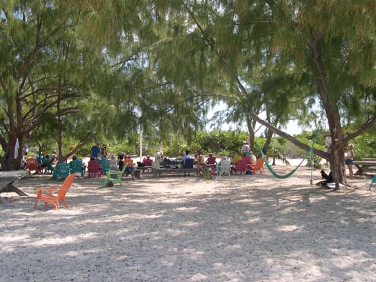
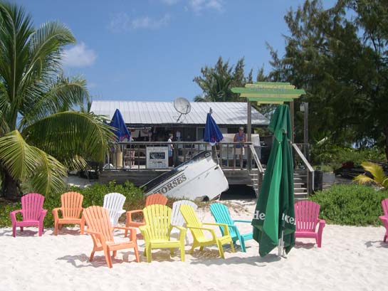
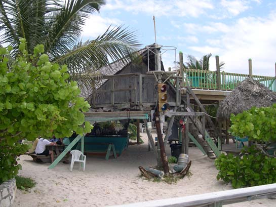
The famous Chat-N-Chill (Cold beer, mediocre food, surly service, great location.)
The conch salad stand
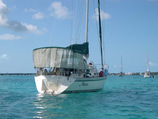
Alisios with her sun shade deployed (A friend of ours made this. It keeps the sun off us and the boat cool.)
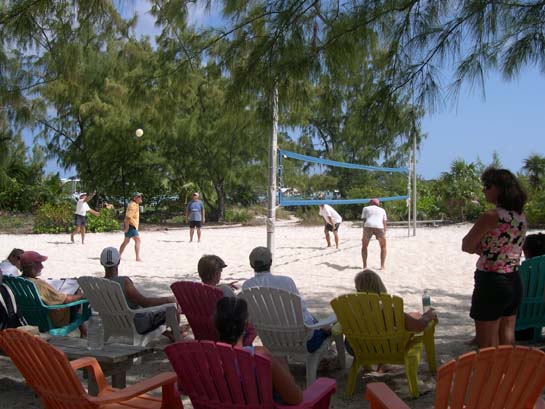
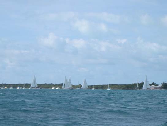
The start of the Elizabeth Harbor Race, 28th Georgetown Cruiser's Regatta
Lead boats after the firt turn, Elizabeth Harbor Race, 28th Georgetown Cruiser's Regatta
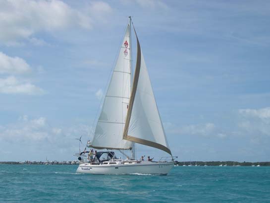
Our friends Arne and Bev on their Catalina 42, Scandia (They came in third in their class.)
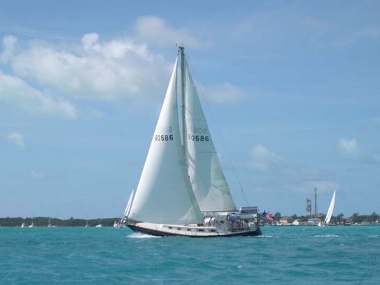
Our friends Bob and Gail on their Bristol 38, Star
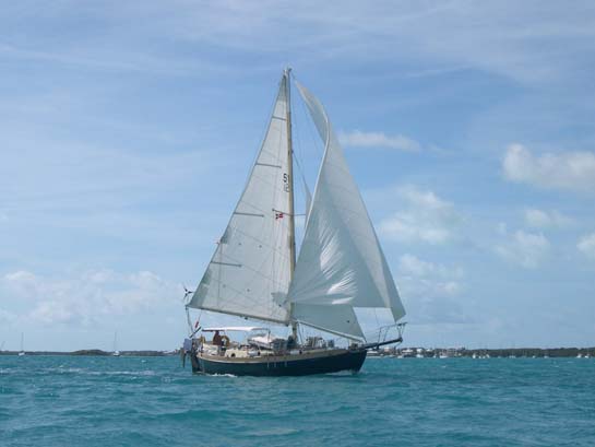
Westsail 32, Galena (Westsails are well built but are very slow boats. This one came in dead last, very late.)
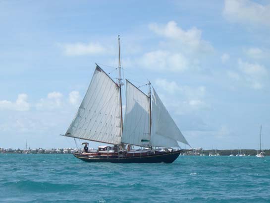
Gaff-rigged, cutter-rigged, wooden schooner, Stella Polaris (This boat had 6 sails flying during the around-the-island race and was even more beautiful.)
Red Shanks anchorage, Grand Exuma
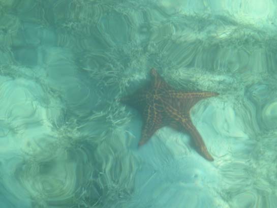
Starfish under Alisios' stern, Red Shanks anchorage (The depth is about 5.5 feet.)
Kamo and s/v Minoun, Georgetown
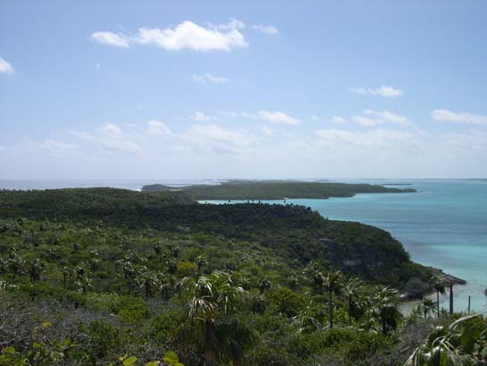
View from Perry's Peak, Lee Stocking Island (at 123 feet the highest point in the Exumas) (Alisios, too small to see, is at anchor in the well-defined basin to the upper right.)
View from Perry's Peak looking southwards, showing both the Exuma Sound / ocean side (left) and the Banks side (right), Bahamian Cays are seldom very wide.
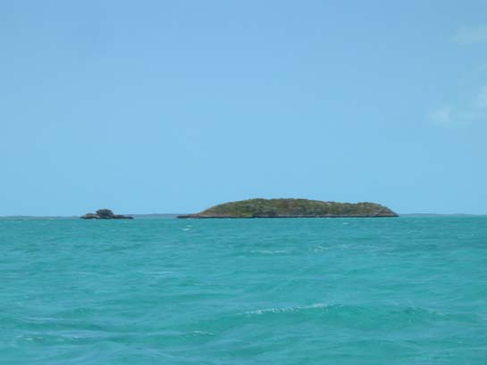
"Tug and Barge" rocks off the west side of Lee Stocking Island
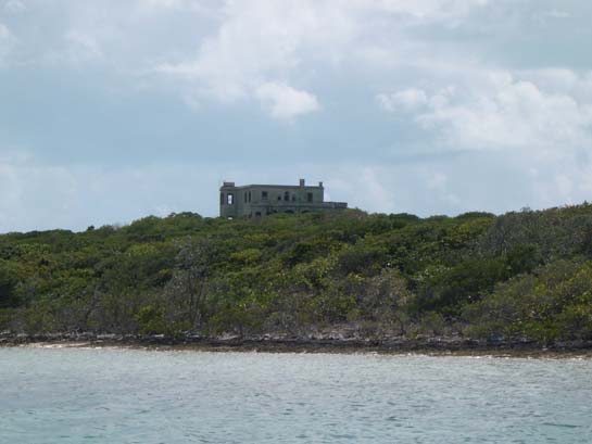
The abandoned and decaying green house / castle on Darby Island, Exumas
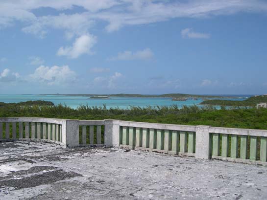
View looking north towards Rudder Cut Cay from the green house / castle on Darby Island (Alisios is anchored all to itself north of the small island in the picture's center-left.)
A view of Cave Cay Cut, Exumas, one of the better cuts between Exuma Sound and the Bahama Banks. It's calm here, but can get quite rough when wind, waves, and tide conflict.
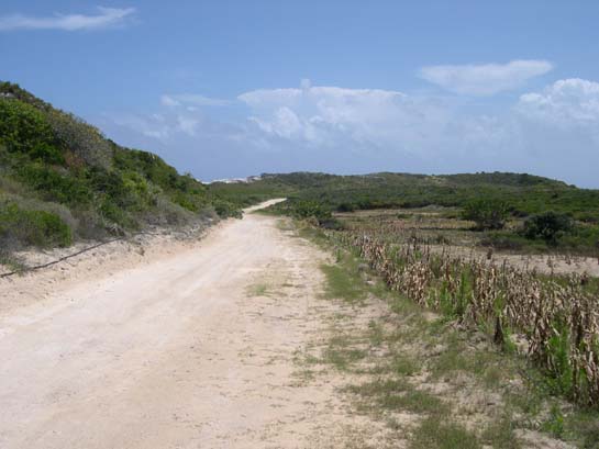
The road to nowhere, south of Black Point Settlement, Great Guana Cay, Exumas
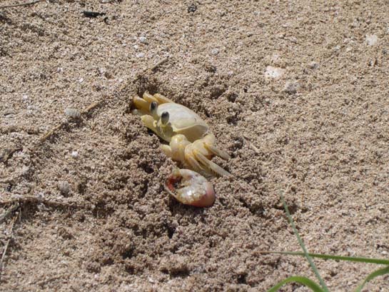
I believe this is a "ghost crab", Great Guana Cay (A land crab we stumbled past on our hike.)
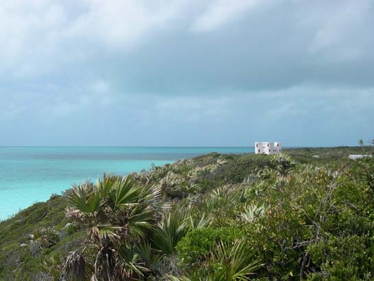
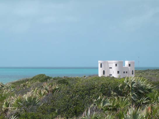
The white castle (a private house), Great Guana Cay
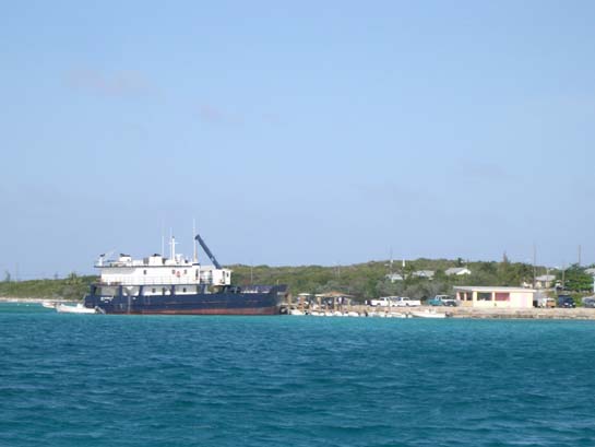
The mail boat at Black Point (In addition to mail, most goods are delivered to the islands via the mailboat)
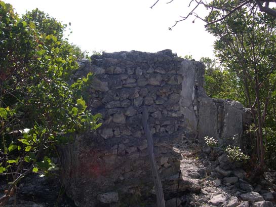
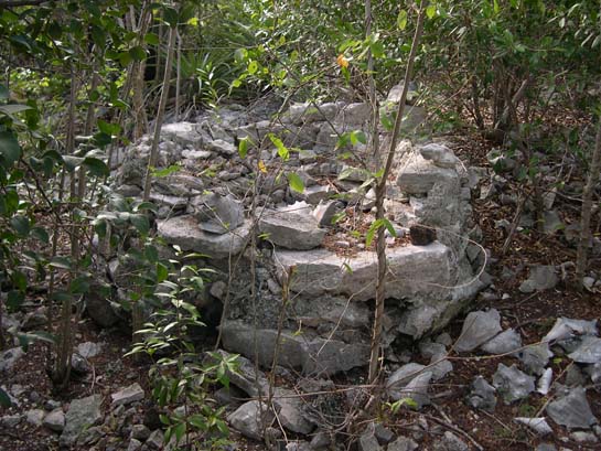
The Russell [1785 Loyalist farm] ruins, Hawksbill Cay, Exumas
The Russell [1785 Loyalist farm] ruins
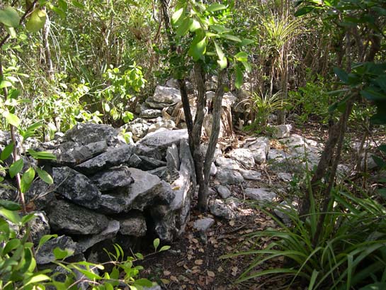
The Russell [1785 Loyalist farm] ruins (This was a bee hive kiln used to make morter from conch shells.)
Looking down on Moondink from the Russell ruins trail
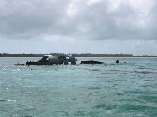
Wreck of one of Carlos Lehder's drug-running planes, Norman's Cay, Exumas
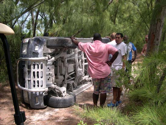
Pondering how to flip it back, Norman's Cay (Done 15 minutes later with the help of a jeep and a rope)
Matthew and Gail at MacDuff's, Norman's Cay
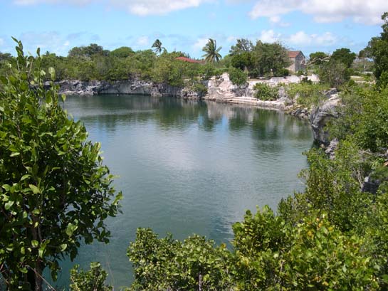
The Blue Hole at Rock Sound, Eleuthera
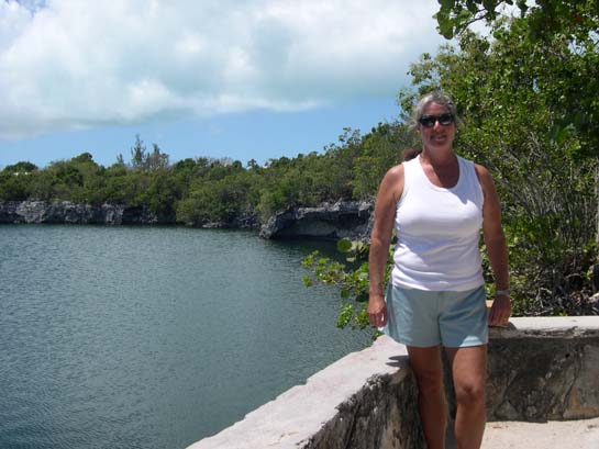
Gail by the Blue Hole, Rock Sound, Eleuthera
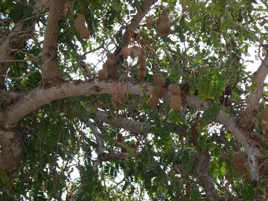
Tamarind fruit, ripe and ready to eat, Rock Sound, Eleuthera (A sweet and sour pulp surrounding seeds big enought to suck, a nice treat)
Pete's Pub, Little Harbor, Great Abaco
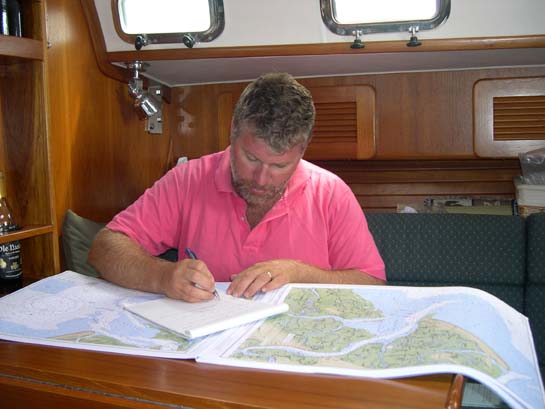
Homework - Matthew researching and plotting each of the U.S. Atlantic coastal inlets in prepration for our return passage
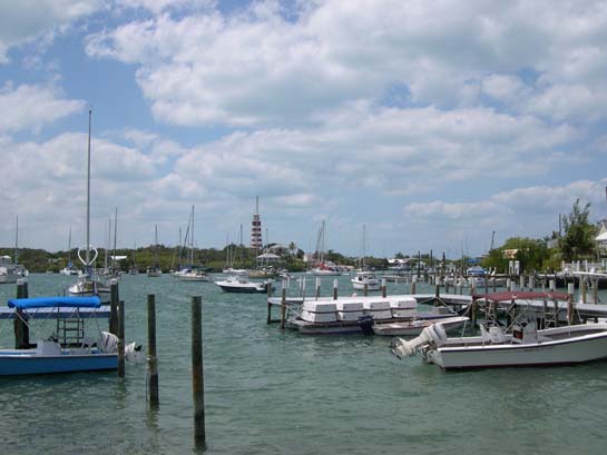
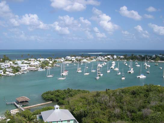
A view from town of Hope Town harbor, Elbow Cay, the Abacos
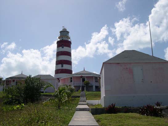
Elbow Reef Lighthouse, Hope Town, Elbow Cay, the Abacos (Built in 1864, Re-built in 1934, 120 feet above sea level, Visibility 17 miles, 101 steps)
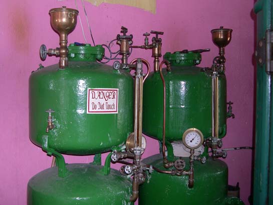
Hood Petroleum Vapour Burner - Duplex Air and Oil Containers for converting kerosene fuel to kerosene gas Elbow Reef Lighthouse (still used)
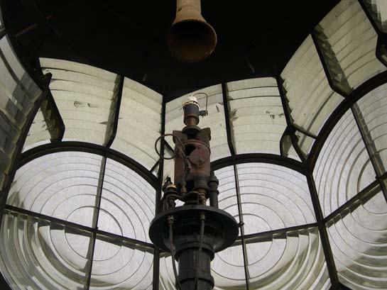
The lamp and Fresnel lense of the Elbow Reef Lighthouse (Note the silk mantel, similar to a camping lantern)
Hope Town, Elbow Cay (From the top of the lighthouse)
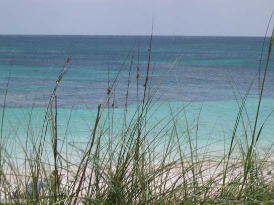
A view from the dunes, Elbow Cay
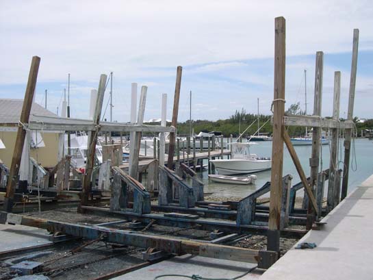
Marine railway, Man-O-War Cay, the Abacos (Before travel-lifts, this was how one hauled boats.)
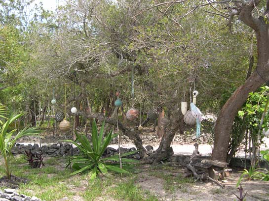
Fish net floats in a tree, Man-O-War Cay (These fish net floats wash up regularly on the Atlantic-facing shores and are hung as decoration.)
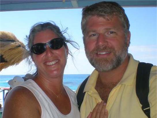
Matthew and Gail, Great Guana Cay, the Abacos
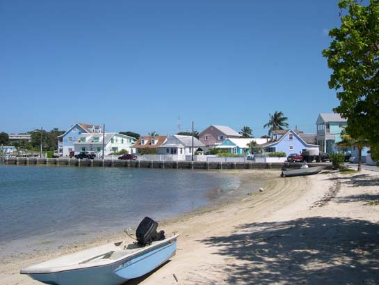
New Plymouth / Settlement Creek (harbor), Green Turtle Cay, the Abacos (New Plymouth was a quiet little town we really enjoyed.)
The one police car on Green Turtle Cay (Note the blue flashing light on the roof.)
A sea horse who took up temporary residence on our swim ladder, White Sound, Green Turtle Cay, the Abacos
Lizard, Green Turtle Cay, the Abacos (These are larger than a gecko and are everywhere. I figured I should photograph one.)
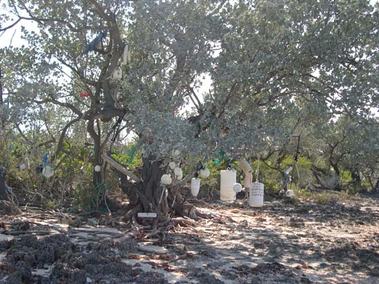
Cruiser beach debris "forget-me-nots", Allan's Pensacola Cay, the Abacos
The Atlantic Ocean beach, Allan's Pensacola Cay (Unlike the resorts, natural beaches don't have teams of Hatian migrants raking up the seaweed.)
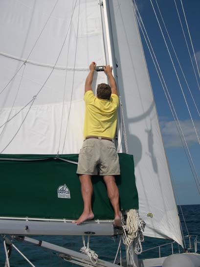
Matthew repairing one of the batten slides as we were crossing the Banks towards the ocean (No need to take the sail down if you can reach it by standing on the boom on your tip-toes.)